Introduction
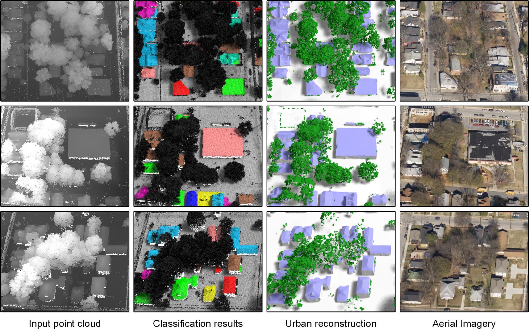
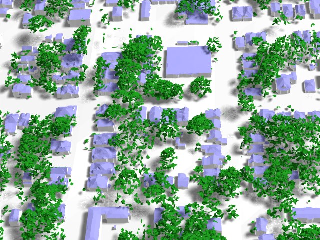
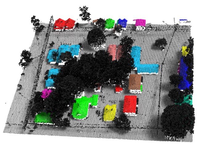
I developed an urban modeling system during my PhD. The system takes an aerial LiDAR point cloud as input, and reconstructs 3D urban models in an efficient manner. I have left the project since I graduated from USC. But the code, prebuilt package, and data are published freely on Github.
2.5D Dual Contouring
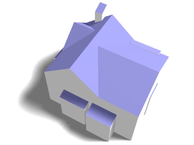
2.5D Dual Contouring is part of the urban modeling system. It is a robust building modeling algorithm published in my ECCV 2010 paper "2.5D Dual Contouring: A Robust Approach to Creating Building Models from Aerial LiDAR Point Clouds". It has been tested, used, cited, and compared with other methods, in many subsequent works. We have a standalone package just containing 2.5D Dual Contouring.
PhD Thesis
3D Urban Modeling from City-scale Aerial LiDAR Data
Qian-Yi Zhou
PhD Thesis (Advisor: Ulrich Neumann)
List of Papers
Complete Residential Urban Area Reconstruction from Dense Aerial LiDAR Point Clouds
Qian-Yi Zhou and Ulrich Neumann
Graphical Models 2013 (shorter version published at CVM 2012)
2.5D Building Modeling by Discovering Global Regularities
Qian-Yi Zhou and Ulrich Neumann
CVPR 2012
2.5D Building Modeling with Topology Control
Qian-Yi Zhou and Ulrich Neumann
CVPR 2011
2.5D Dual Contouring: A Robust Approach to Creating Building Models from Aerial LiDAR Point Clouds
Qian-Yi Zhou and Ulrich Neumann
ECCV 2010 (oral paper, acceptance rate 3.3%)
A Streaming Framework for Seamless Building Reconstruction from Large-Scale Aerial LiDAR Data
Qian-Yi Zhou and Ulrich Neumann
CVPR 2009
Fast and Extensible Building Modeling from Airborne LiDAR Data
Qian-Yi Zhou and Ulrich Neumann
ACM GIS 2008
